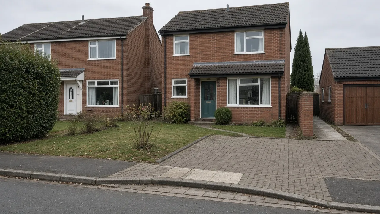
West Dyke's homes
West Dyke has been a Redcar ward name since at least the 1961 Census. The modern ward takes its name from West Dyke Road, though much of that road runs through neighbouring wards. Its spine is Redcar Lane (the B1269), and the ONS postcode directory places Redcar Racecourse inside the ward. Residential streets include Aintree Road, Warwick Road, Raby Road, Castle Road, Berwick Walk and Borough Road, near the entrance to Borough Park and Redcar Cemetery.
The 2021 Census shows a settled, owner-occupied ward. West Dyke had 2,725 households: 56% semi-detached, 22% terraced, 20% detached and just 2% flats. Some 79% were owner-occupied, second only to Wheatlands among Redcar wards. Only 20% of households had no car or van, while 36% had two or more.
Common West Dyke frontages:
- Side drives to a garage that has become too narrow for today's cars, or is now used for storage.
- Older concrete or tarmac drives that have cracked, sunk or been patched over the years.
- Detached homes with a lawn beside the drive that could be paved for a second car.
- Corner plots where the crossing position and sight lines need care.
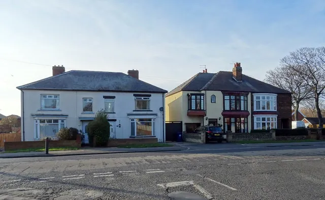
Clay ground and nearby flood zones
The British Geological Survey maps West Dyke on glacial till, a dense clay, over Redcar Mudstone. Clay drains slowly, so the base matters. A replacement drive should be dug out to a firm formation, laid on a membrane with a compacted Type 1 sub-base, and finished with a fall that sends water to a border, lawn or soakaway rather than to the house or the road.
The Environment Agency's flood map shows mapped Flood Zone 2 and 3 areas within about 400 metres of the ward centre (postcode TS10 2ER). Before widening a drive across a lawn, check your own address on the flood map and avoid adding sealed surface that runs off into the street.
Permission and the kerb
Planning. West Dyke has no conservation area. For a house, a permeable drive, or one draining to the garden, is permitted development. More than five square metres of impermeable surface draining to the road needs planning permission. Replacing an existing drive like for like rarely needs any.
Widening the dropped kerb. A two-car drive needs a wide enough crossing. Redcar and Cleveland Council explains that a crossing protects the footway and vehicles, and its online application must be completed by the property owner. No fee is published on its page. On busier routes such as Redcar Lane, expect visibility and nearby junctions to be weighed carefully. Our dropped kerbs page covers the process.
Garages. If you plan to convert an integral garage into a room, check whether it affects parking conditions in the original planning permission.
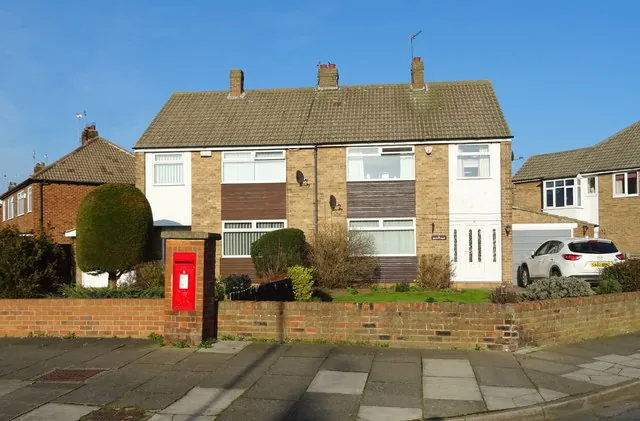
Widening or replacing a West Dyke drive
Widening a side drive by one car width is usually 12 to 18m². Replacing a full two-car frontage is often 35 to 45m². A widening keeps the old drive and adds a strip, so the join has to be invisible and the levels must still carry water away from the house. A full replacement is the moment to fix a poor base, swap an impermeable surface for a permeable one, or add a channel drain across the front.
Breaking out old concrete and disposal add to the bill, as do new edgings and drainage channels. Extending the dropped kerb comes on top, and the council's own assessment fixes that price in Redcar. Compare resin and block paving before you choose, and see driveway repairs if the drive only needs re-laying.
Nearby areas
- Zetland: to the east, towards the seafront and Zetland Park.
- Wheatlands: to the south, with modern detached homes and double drives.
- Lakes Estate: to the west, where post-war semis often need a lawn conversion.
See every area on our areas page.
Questions people ask in West Dyke
Can I widen my West Dyke drive without planning permission?
For a house outside a conservation area, yes, if the new surface is permeable or drains into the garden. You still need Redcar and Cleveland Council's approval to extend the dropped kerb, applied for by the property owner.
My concrete drive is cracked. Should I resurface or replace it?
If the base has sunk or the slabs move, replacing is usually better value. A resin overlay only works on a sound, stable base. A contractor can check the base by lifting a section.
Is West Dyke at risk of flooding?
Parts of the ward are close to mapped Flood Zone 2 and 3 areas. Check your address on the Environment Agency's flood map, and choose a permeable surface or drainage into the garden so a new drive does not add runoff.
Does a drive on Redcar Lane need special approval?
The same dropped kerb application applies, but on a busier road the council looks harder at visibility and the position of the crossing. A corner plot may need the opening moved away from the junction.
Sources: ONS Census 2021, West Dyke ward (TS044, TS045, TS054 via Nomis); postcodes.io (ONS Postcode Directory): TS10 2BY (Redcar Racecourse) and TS10 2ER; A Vision of Britain through Time: Redcar wards in the 1961 Census; BGS Geology Viewer, 1:50,000; Environment Agency flood map for planning; Redcar and Cleveland Council: dropped kerbs; GOV.UK: permeable surfacing of front gardens.