Two Kirkleathams
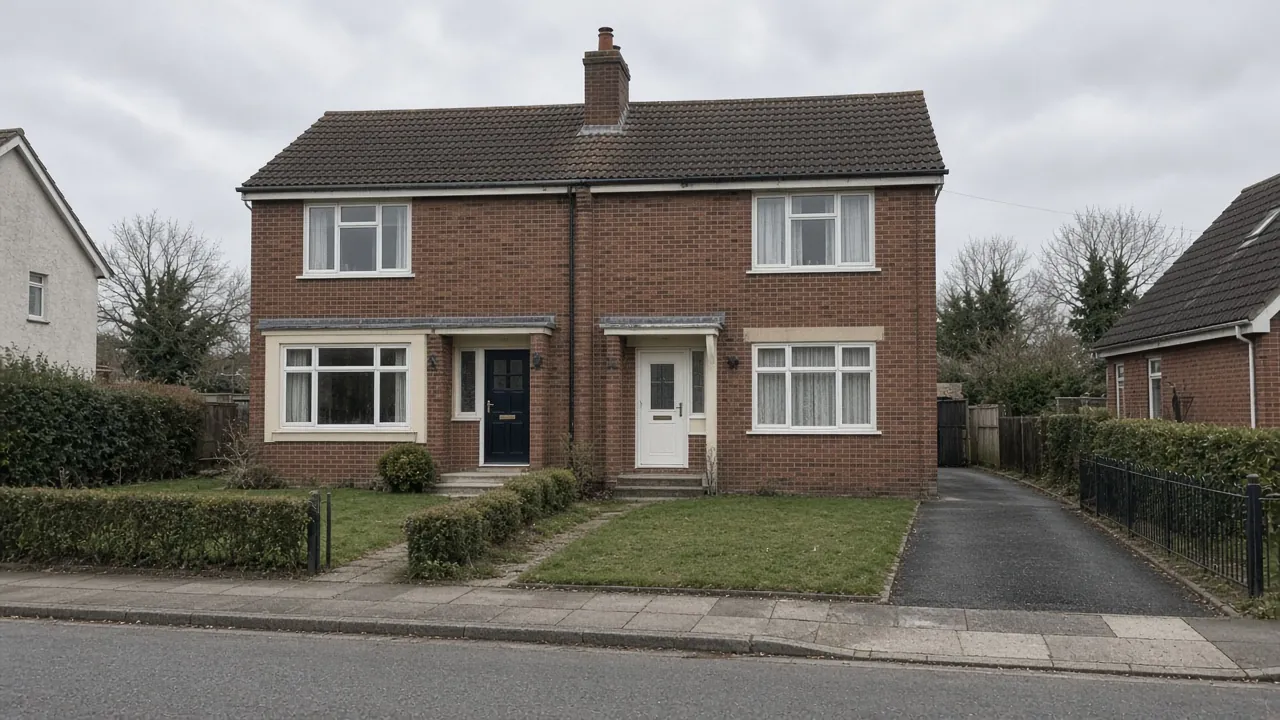
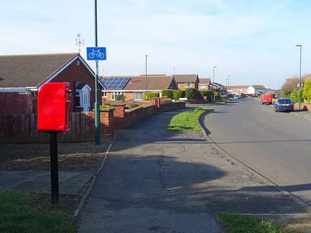
The Kirkleatham ward covers housing on Redcar's southern side, including Mapleton Crescent, Larkswood Road, Dalby Close, Meadway and parts of Roseberry Road and West Dyke Road, where bungalows, semis, short terraces and low-rise flats sit side by side. It is the largest of Redcar's wards by households.
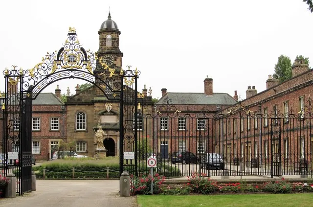
Kirkleatham village lies to the south-west, beyond the A174. Despite the name, the ONS postcode directory places the village in the Dormanstown ward. It is an old estate village: Sir William Turner's Hospital, almshouses built in 1674 to 1676, is Grade I listed, and around 27 listed buildings and structures stand in and around the village, including the Grade I Church of St Cuthbert, a Grade II gatehouse, two Grade II bastions, one with a ha-ha wall, and listed gatepiers and garden walls. The Old Hall is now Kirkleatham Museum.
The 2021 Census for the Kirkleatham ward counted 3,446 households, the most of any Redcar ward, and the mix is varied: 35% semi-detached, 33% terraced, 22% detached and 10% flats. Some 34% of households had no car or van and 25% had two or more. Only 48% were owner-occupied, the lowest share in Redcar, so many homes are rented.
On the estates that means:
- Side drives on semis and bungalows that are too narrow for today's cars and need widening.
- Terraces with front gardens where a lawn could become a parking space.
- Open-plan fronts on some streets, where neighbours share a strip of grass and agreement helps.
- Rented homes where the landlord must agree before work starts.
Clay ground and drainage
The British Geological Survey maps the Kirkleatham estates on glacial till, a dense clay, over Redcar Mudstone. Water drains slowly through clay, so a new drive needs a properly compacted sub-base on a membrane and a fall away from the house, with water going to a border, lawn or a soakaway designed for clay.
The Environment Agency's flood map shows the area around Mapleton Crescent in Flood Zone 1, with no river or sea flood zone within about 400 metres. Heavy rain on clay is the main risk, which is why permeable surfaces, or drains into the garden, are worth the extra effort.
Permission on the estates and in the village
Estates: planning. For houses, a permeable front drive, or one that drains within the garden, does not need planning permission. Over five square metres of impermeable surface draining to the road does. Flats have no such rights.
Village: conservation area. Teesside County Borough Council designated the Kirkleatham conservation area on 9 April 1970 for its high-status historic estate village and wooded parkland setting. A recent council briefing describes it as "vulnerable". Walls, trees and the setting of listed buildings matter here, so ask the council's planning team before any work, and expect listed building consent to be needed for anything that touches a listed structure.
The crossing. Widening a drive usually means widening the dropped kerb too. Redcar and Cleveland Council's online application must be completed by the property owner, and the council explains that a crossing protects both footway and vehicles. No fee is published on its page. The council will look at visibility, junctions and street furniture. Our dropped kerb guide for Redcar sets out the steps.
Widening or replacing a Kirkleatham drive
Widening a side drive by one car width usually adds about 12 to 18m². A complete front drive for two cars is often 35 to 40m². On the estates, the deciding factor is usually whether the existing base is worth keeping: a sound base under tired blocks can be re-used, while cracked concrete has to be broken out first. Gravel in a grid is the lowest-cost permeable choice, with tarmac, block paving and resin bound rising from there.
Breaking out old concrete and removing it adds to the job, and a new or extended dropped kerb comes on top. Redcar and Cleveland Council assesses each crossing and sets its price, so we build that into the quote once the council has replied. Matching new blocks to an existing drive is easier with a block paving re-lay; see also driveway repairs.
Nearby areas
- Wheatlands: to the east, with newer detached homes and two-car drives.
- Newcomen: to the north, a mostly semi-detached ward with many owner-occupiers.
- Dormanstown: to the west, the garden village built by Dorman Long.
See all areas on our areas page.
Questions people ask in Kirkleatham
Is my Kirkleatham home in the conservation area?
Only if it is in or around Kirkleatham village, south of the A174. The housing estates in the Kirkleatham ward are not in the conservation area. The council's appraisal includes a boundary map, and the planning team can confirm an address.
Can I widen my side drive in Kirkleatham?
Usually, yes. A permeable surface avoids planning permission for a house, but a wider opening means applying to Redcar and Cleveland Council to extend the dropped kerb. Tenants need their landlord's consent first.
What surface suits Kirkleatham's clay?
Permeable block paving, gravel in a grid or resin bound on an open base can work if the base is built for slow-draining clay. Otherwise, use a sealed surface laid to fall towards a lawn, border or soakaway.
Do I need consent to change a drive near Turner's Hospital?
Very likely. Sir William Turner's Hospital is Grade I listed and the village is a conservation area, so changes affecting its setting need early advice from the council and may need listed building consent.
Sources: ONS Census 2021, Kirkleatham ward (TS044, TS045, TS054 via Nomis); postcodes.io (ONS Postcode Directory): ward lookups for TS10 4HY and TS10 2YQ; Redcar and Cleveland Council briefing note on conservation areas (Kirkleatham, designated 1970); Redcar and Cleveland Council: conservation area appraisals (Kirkleatham); Wikipedia: Redcar (Sir William Turner's Hospital, Grade I, 1674–1676); Historic England listed buildings via planning.data.gov.uk; BGS Geology Viewer, 1:50,000; Environment Agency flood map for planning; Redcar and Cleveland Council: dropped kerbs; GOV.UK: permeable surfacing of front gardens.