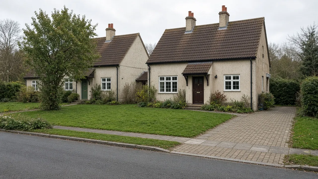
A steelworks garden village
Building started in 1917 to house workers at the Dorman Long iron and steelworks, at a time when the works needed more labour for wartime munitions. The first 300 houses were designed by the architects Stanley Adshead, Stanley Ramsey and Patrick Abercrombie and laid out as a garden village, and three streets carry their names. By 1920 there was housing for 342 families. The layout centres on The Green, framed by Broadway East and Broadway West, with South Avenue along its southern side. Later streets, such as Eskdale Road, Boulby Road and Staintondale Avenue, carry North York Moors and coast names.
Two listed buildings stand out. Dormans Crescent, twenty cottages built in 1931, is Grade II listed and described as the first homes in England built for local senior citizens. Westfield House, the only house here before the village was built, is also Grade II. The early steel-framed "Dorlonco" houses, made with Dorman Long steel, were demolished in 1979.
The 2021 Census for the Dormanstown ward counted 2,105 households: 67% semi-detached, 20% terraced, 10% flats and 4% detached. About a third (33%) had no car or van, and 26% had two or more. Some 51% were owner-occupied, so nearly half of homes were rented.
What that means on the ground:
- Front lawns rather than drives. Garden-village semis were planned for a mostly car-free workforce, so parking usually means converting a lawn.
- Grass verges between pavement and road on many streets. A crossing has to span the verge as well as the footway.
- Hedges and low boundaries that give the estate its green look; keeping part of the hedge or a planted strip helps both drainage and appearance.
- Rented homes, where the landlord's permission comes first.
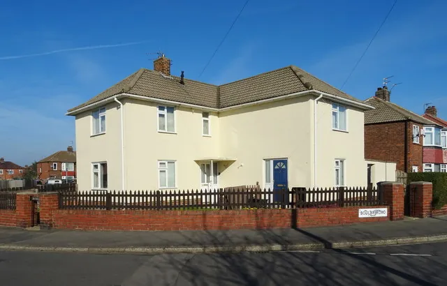
Clay ground, ditches and surface water
The British Geological Survey maps Dormanstown on glacial till, a dense stony clay, over Redcar Mudstone. Clay holds water, so soakaways need to be sized for slow ground, and a drive needs a sub-base on a membrane and a fall away from the house. The farmland to the south was drained with a grid of ditches that run towards the Tees at Dabholm, and some of those ditches remain at Foxrush Farm Community Woodland, the 45-hectare woodland planted in 1997 on Dormanstown's southern edge.
The Environment Agency's flood map shows the point checked near South Avenue in Flood Zone 1, though small Flood Zone 2 and 3 areas are mapped within about 300 metres. Look up your own address before you build, and plan where rainwater will go.
Kerbs, verges and permission
Landlord. If you rent, get written consent from your landlord or housing association before anything else.
Planning. Dormanstown has no conservation area. For houses, a permeable front drive, or one draining onto the garden, needs no planning permission; more than five square metres of impermeable surface draining to the road does. Dormans Crescent and Westfield House are listed, so changes there need listed building consent.
The crossing. Redcar and Cleveland Council says a driveway crossing protects the footway and vehicles, and its online application must be completed by the property owner. The council does not publish a fee on its dropped kerb page. Where there is a verge, the crossing is longer, and the council will check for trees, lamp columns, junctions and visibility. Never put ramps or blocks in the gutter to get over a kerb; our dropped kerbs page explains the proper route.
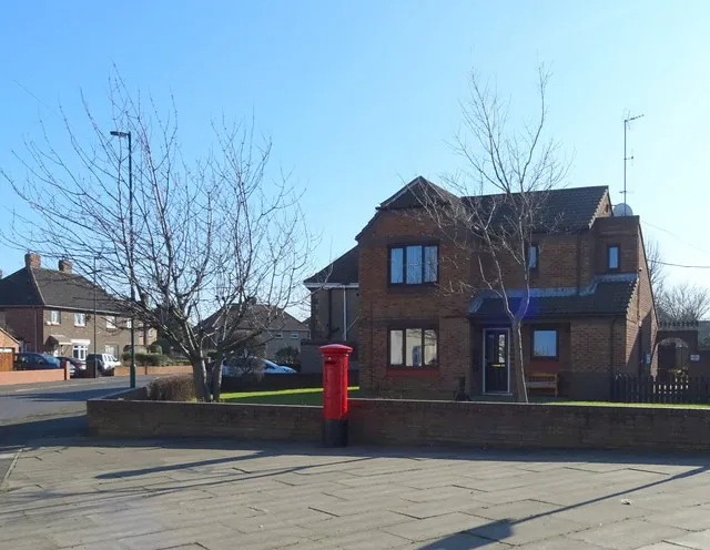
Turning a Dormanstown front lawn into a drive
Converting a semi's front lawn into a single space with room to open doors usually takes about 18 to 22m². The garden-village semis were laid out with generous fronts, so depth is rarely the problem; the questions are what the old lawn hides and how far the new surface has to slope to shed water. We lift a test patch of turf at the survey to see how deep the topsoil goes before the sub-base can start.
Lifting turf and topsoil and taking it away is part of the job, and so is the crossing. A verge crossing usually involves more highway work than a footway-only one, and Redcar and Cleveland Council sets that price after its own assessment. Gravel driveways and tarmac are the usual budget choices; our Redcar driveway cost guide explains what changes a quote.
Nearby areas
- Coatham: to the east, with Victorian terraces and a conservation area by the sea.
- Kirkleatham: to the south-east, with mixed estates and the historic Kirkleatham village beyond.
- Newcomen: to the east, where most homes are semi-detached and more are owner-occupied.
All areas are listed on our areas page.
Questions people ask in Dormanstown
Can I park on my Dormanstown front garden?
Usually, if there is room to park clear of the footway. The owner must apply to Redcar and Cleveland Council for a dropped kerb, tenants need their landlord's consent, and a permeable surface avoids a planning application.
There is a grass verge outside. Does that stop a crossing?
Not usually, but it makes the crossing longer and dearer, and the council checks trees, lamp columns and sight lines in the verge. Apply before you build the drive, so you know the crossing will be allowed.
Is Dormanstown a conservation area?
No. Dormanstown has no conservation area, but Dormans Crescent and Westfield House are Grade II listed buildings, and work affecting them needs listed building consent.
What surface copes with Dormanstown's clay?
Gravel in a grid, permeable block paving or resin bound on an open-graded base can all work if the base is designed for slow-draining clay. Otherwise, lay a sealed surface with a fall to a lawn, border or soakaway.
Sources: ONS Census 2021, Dormanstown ward (TS044, TS045, TS054 via Nomis); Wikipedia: Dormanstown (history, architects, Dormans Crescent, The Green); Historic England listed buildings via planning.data.gov.uk; BGS Geology Viewer, 1:50,000; Environment Agency flood map for planning; Redcar and Cleveland Council: dropped kerbs; GOV.UK: permeable surfacing of front gardens.