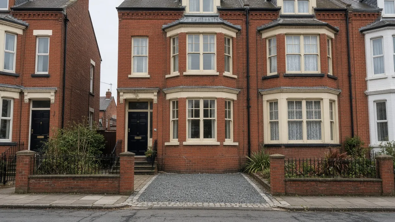
Coatham's terraces, flats and seafront streets
Coatham began as a separate fishing hamlet west of Redcar and was later joined to the town by Victorian streets. Today the area runs from High Street West and Coatham Road out towards the golf links and the beach, with Lobster Road, Majuba Road and Locke Park, with its boating lake, among the local landmarks. Listed buildings in and around the area include Christ Church (Grade II), the Grade II Red Barns, built for the Bell family, and Redcar Central* station.
The 2021 Census shows how different Coatham is from the rest of Redcar. The Coatham ward had 2,405 households: 40% terraced houses, 35% flats (purpose-built or converted), 22% semi-detached and only 4% detached. Some 42% of households had no car or van, the highest share of any Redcar ward, and 18% had two or more. Half of homes were owner-occupied.
For a driveway, that means:
- Short front gardens. Many terraces have a yard or garden only a few metres deep, behind a brick wall or railings.
- Flats and shared frontages. In converted houses and blocks, the front garden is usually shared, so every owner, or the freeholder, has to agree.
- Back lanes. Some streets have rear lanes where a gate and hardstanding can be easier than the front.
- Busy kerbside parking on streets such as Coatham Road, which the council weighs when it looks at a new crossing.
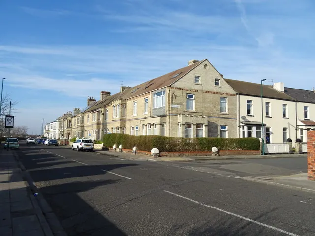
Sand underfoot and the sea nearby
The British Geological Survey maps central Coatham on blown sand over Redcar Mudstone. Sand drains quickly, which helps permeable surfaces, but it is loose. A drive needs a well-compacted Type 1 sub-base on a geotextile membrane, and edge restraints set in concrete so blocks or gravel cannot creep. Wind can carry sand into joints, so jointing that resists washing out is worth paying for close to the beach.
The Environment Agency's flood map puts this part of Coatham in Flood Zone 1 at the point checked, but there are mapped Flood Zone 3 areas within about 300 metres towards the coast and low ground. Check your own address on the flood map for planning, and keep rainwater on your land with a permeable surface or a soakaway rather than draining onto the road.
The conservation area and the council
Coatham conservation area. The council designated Coatham, originally as the Redcar Conservation Area, on 13 October 1982. It covers the old hamlet around High Street West, with its small fishermen's cottages, and the Victorian terraces to the south and east towards Kirkleatham Street. A council briefing lists it as "at risk", and a draft Coatham Conservation Area Management Plan went to public consultation in 2026, alongside a revised appraisal. In practice, front walls, railings and gardens are part of what the council wants to keep, so speak to its planning team before taking any of them out. A listed building needs listed building consent for changes to its setting.
Planning outside the conservation area. For houses, a permeable front drive, or one that drains to a lawn or border, does not need planning permission. Over five square metres of hard surface draining to the road does. Flats have no permitted development rights for front-garden paving.
The dropped kerb. Redcar and Cleveland Council says a driveway crossing is needed for vehicle access, to stop damage to the footway and to vehicles. The property owner completes the council's online application. The council does not publish a fee on that page. Expect it to check that a parked car will not hang over the footway, and to look at junctions, visibility and street furniture. Our dropped kerbs page explains the steps.
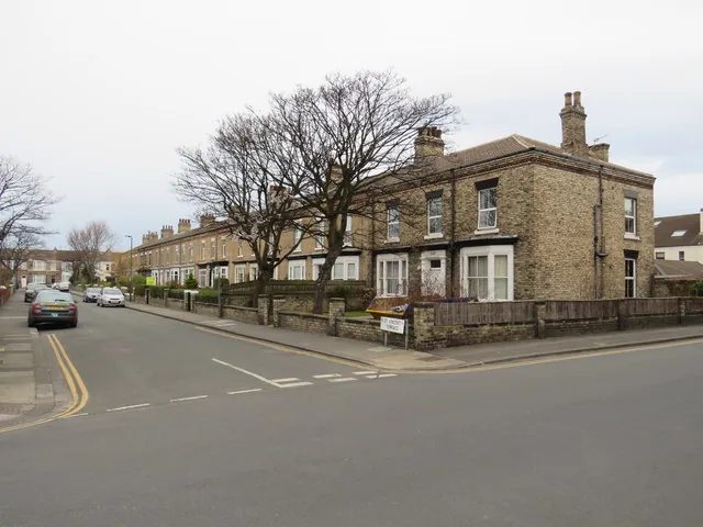
Fitting a car into a Coatham frontage
A single parking space in front of a terrace is often 12 to 15m², smaller than a typical suburban drive. On a plot that tight, the work is mostly about the edges: how much of the front wall or railings has to go, how the new surface meets the house and the footway, and where rain will run once the soil is covered. Small jobs also carry the same fixed set-up as big ones, from the skip to the compactor, so the size of the space is not the only thing that shapes the price.
Rebuilding or shortening a front wall, re-setting railings and the crossing itself all come on top of the surface. Redcar and Cleveland Council prices each crossing after assessing the site, so we wait for that figure before quoting the full job. In the conservation area, clay pavers or setts that match the street often suit better than plain concrete blocks; see block paving, resin driveways and our guide to driveways near the coast.
Nearby areas
- Newcomen: just south across the railway, with more semis and deeper front gardens.
- Dormanstown: to the west, the garden village built for Dorman Long's steelworkers.
- Zetland: on the other side of the town centre, with inter-war semis near the seafront.
See every area on our areas page.
Questions people ask in Coatham
Can I make a parking space in front of my Coatham terrace?
Sometimes. Measure from the house or bay to the back of the footway: you generally need around 5 metres or more so a car does not overhang it. Then the property owner applies to Redcar and Cleveland Council for a dropped kerb. In the conservation area, check with planning before removing a wall or railings.
Is my street in the Coatham conservation area?
The conservation area covers the old hamlet around High Street West and the Victorian terraces to the south and east. The council publishes the Coatham appraisal and a boundary map on its conservation area page, and its planning team can confirm a specific address.
Does blown sand cause problems for a drive near the beach?
It can. Sand drains well but shifts, so a drive needs a proper compacted sub-base, a membrane and edges set in concrete. Windblown sand also gets into joints, so choose jointing that resists washing out and sweep it off regularly.
I live in a flat. Can I have a drive?
Flats have no permitted development rights to pave front gardens, so a planning application is usually needed, and shared gardens need the freeholder's and other owners' agreement. A shared rear parking area is sometimes more realistic.
Sources: ONS Census 2021, Coatham ward (TS044, TS045, TS054 via Nomis); Redcar and Cleveland Council: conservation area appraisals (Coatham); Redcar and Cleveland Council briefing note on conservation areas (designation dates); Coatham Conservation Area Management Plan consultation (2026); Historic England listed buildings via planning.data.gov.uk; BGS Geology Viewer, 1:50,000; Environment Agency flood map for planning; Redcar and Cleveland Council: dropped kerbs; GOV.UK: permeable surfacing of front gardens.